Somewhere along the rugged southern coastline, there is a beach so elusive that even seasoned locals can’t agree on its exact name. In fact, it doesn’t appear on standard maps, satellite navigation, or tourist brochures. And twice a year, it disappears completely.
A shifting shoreline few have seen
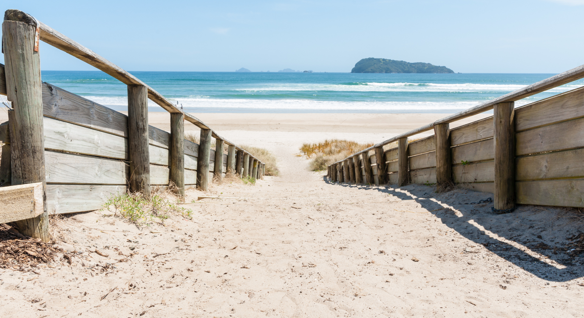
For much of the year, the area looks like little more than jagged rock and windswept cliffs. But during specific tidal and seasonal patterns — often around the equinoxes — the sea retreats far enough to reveal a stretch of pale sand and scattered shells. The transformation is so sudden and so fleeting that only those who happen to be there at just the right time ever witness it.
It is not a case of tides alone. According to locals, this section of coast is shaped by strong, shifting currents and offshore sandbars that physically move over the course of the year. In winter, storms pull the sand away, leaving nothing but reef and stone. In calmer months, the sand drifts back, remaking the shoreline.
No signs, no crowds, no Instagram tags
Those who know the spot have kept it out of the public eye — deliberately.
There are no signposts from the main road, no walking tracks marked on council maps, and certainly no geotagged photos flooding social media. The few who speak about it describe winding gravel access, private farmland boundaries, and the need to know both the tide table and the weather window.
“If you stumble on it, you feel like you’ve discovered something no one else knows about,” says one Southland resident. “That’s why we don’t shout about it.”
This culture of quiet stewardship has helped the beach avoid overexposure and erosion from heavy foot traffic. But it has also wrapped it in a kind of mystery that makes it all the more alluring.
A rare natural rhythm
Marine geographers who’ve studied similar coastal shifts say the phenomenon isn’t unique to this one place — but the combination of its remoteness, sand composition, and prevailing currents makes it rare. In most locations, sand loss and return take years. Here, it happens on a predictable, seasonal cycle.
The result is a beach that is both permanent and impermanent.
It exists, but only part of the time. It can be found, but never easily.
Visibility through the year:
| Month | Beach condition | Chance of full sand exposure |
|---|---|---|
| March–April | Sand at peak, wide beach | High |
| June–August | Sand fully withdrawn | Very low |
| September–October | Sand returns, narrower | Moderate to high |
| December–January | Partial exposure | Moderate |
Why keep it off the map?
Part of the reason is environmental protection. The beach is home to several nesting bird species during the months it is visible, making it vulnerable to disturbance.
Part of it is also cultural — in small coastal communities, special places are often preserved by keeping them low‑profile.
“If you make it too easy to find, you change it forever,” says a local fisherman. “It’s not just a beach. It’s a living thing that comes and goes.”
A place you may never visit — and that’s the point
Not every remarkable landscape needs to be packaged for mass tourism. The vanishing beach of the South Island is a reminder that some wonders are meant to be sought out patiently, or stumbled upon by accident. It’s not a destination for a quick selfie. It’s a moment in time, framed by nature’s own calendar.
If you ever find yourself walking a remote South Island shore and the tide is at its lowest, keep your eyes open. You might just catch a glimpse of sand where yesterday there was only stone — and tomorrow there will be nothing again.